
Articles
Maps of the Ottoman world
Sep
Article author: FUNCI
Date of publication of the article: 20110624
Year of publication: 2011
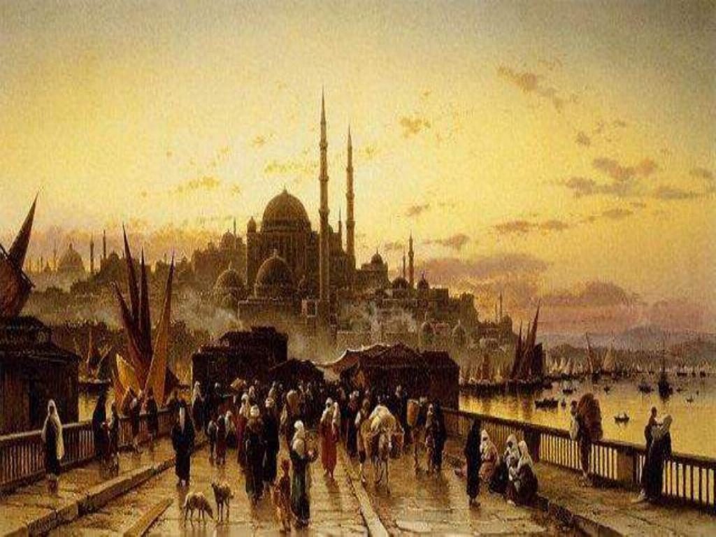
European Cartographers and the Ottoman World 1500–1750
Maps From the Collection of O. J. Sopranos. This exhibition of maps, sea charts and atlases explores how mapmakers came to know and map the Ottoman world between the 15th and 18th centuries. It begins with the intellectual and geographical discoveries of the 15th century that undermined the medieval view of the cosmos, and illustrates how cartographers sought to produce and map a new geography of the world, one that reconciled classical ideas and theories with the information collected and brought back by travellers and voyagers.
To illustrate these developments, the exhibit is organized around such themes as the rediscovery of Ptolemy’s Geographia and its impact on geographic thought and mapping practices; the practical tradition of sea charting that developed in the Mediterranean; the new cartographies of Giacomo Gastaldi and Abraham Ortelius, who sought to hold up a mirror to the known world; the production of Ottoman geographies; and the ways in which enlightened French cartography affected the relationship between the Ottoman Empire and the rest of Europe.
The exhibits include manuscript portolan charts and atlases, the earliest printed maps of the Ottoman Empire, an Ottoman sea atlas, bird’s-eye views of cities, a rare printed Ottoman atlas from the early 19th century, decorative regional maps, a sea chart described as the among the finest examples of 18th-century Dutch map art, and sketches, memoirs and reports from travellers whose observations and descriptions of the Ottoman world enabled cartographers to update their maps. The exhibition demonstrates the power of maps to reflect and shape geographical knowledge of that part of the world we know today as the Middle East.
Oriental Institute Museum, Chicago, November 2 through March 2